To continue exploring information related to sea level rise and its impacts, explore the following resources from participating agencies and organizations. These resources are all designed for specific users and use cases to share various information related to sea level rise, associate changes due to climate change, and various risk factors.
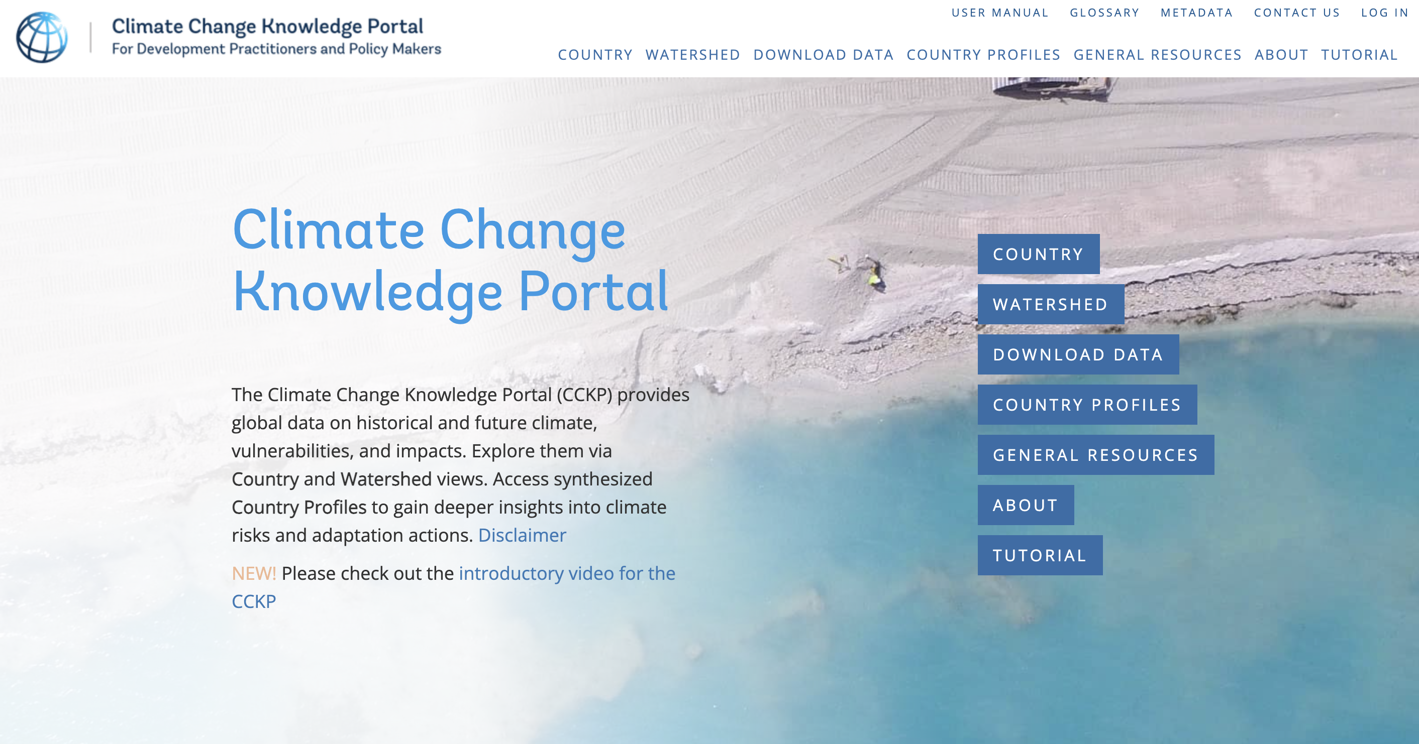
Climate Change Knowledge PortalThe World Bank Climate Change Knowledge Portal
The World Bank Climate Change Knowledge Portal is an online platform designed to provide comprehensive climate data, tools, and resources to support decision-making for climate adaptation and mitigation. Using the latest climate data and scientific research available, CCKP provides development practitioners with resources to explore, evaluate, synthesize, and learn about future climate scenarios, projected risks, and climate-related vulnerabilities at multiple levels of details. The platform aggregates global climate data from trusted sources, offering users a suite of tools to explore historical climate data, project future climate scenarios, and assess the potential impacts on sectors such as agriculture, water, energy, and health. The CCKP contains climate, disaster risk, and socio-economic datasets, as well as synthesis products, such as the Climate Risk Country Profiles, which are built and packaged for specific user-focused functions in a particular country or sector.
Why you would use this site: The CCKP provides consistent and authoritative information for understanding and addressing climate risks on a global scale. By consolidating data from multiple trusted sources, it allows international organizations, development agencies, and researchers to access historical climate information, projections, and vulnerability assessments for countries worldwide. With tailored, region-specific insights, the portal supports cohesive, data-driven climate action across borders.
Who should use this site: The intended audience includes a range of users—primarily decision-makers in government agencies, development professionals, and sector specialists in areas affected by climate change, like agriculture, water resources, and infrastructure. The portal’s tools, such as interactive visualizations, projections, and sector-specific data, help users to make well-informed choices for sustainable development, particularly in regions most vulnerable to climate impacts.
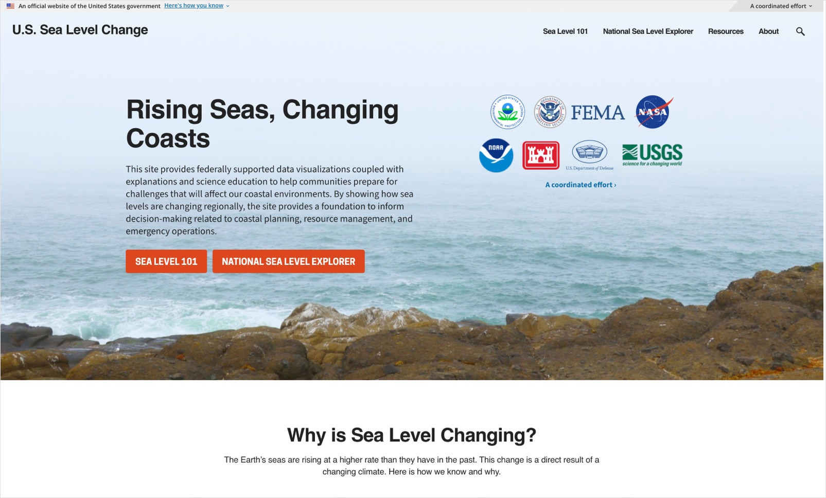
U.S. Sea Level Change WebsiteU.S. Sea Level Change Website

The U.S. Sea Level Change website, produced and maintained by the Interagency Task Force on Sea Level Change and hosted by the U.S. Global Climate Research Program, provides consolidating sea level information from multiple federal agencies to provide a comprehensive view of sea level change along U.S. coastlines. This collaborative effort offers updated, interactive resources to support communities in understanding sea level rise on a local level along the coastlines of the United States. In addition to providing easy access and visualization of the underlying data on past and future sea level rise, explainers and educational content is integrated to ensure the information is understandable and accessible to users.
Why you would use this site: This site provides authoritative, consensus information from the U.S. federal government on sea level change and some of the associated impacts along the United States coastlines. This site can help users gain a fundamental understanding of the changes that have occurred and will occur in the future, while trusting that the provided information is accurate and up-to-date.
Who should use this site: This stie is focused on the United States coastlines and is most relevant to a U.S.-focused user. The information on the site is likely not sufficient for planning or coastal decision-making, but does provide the scientific foundation and underpinning for such planning and efforts. In addition, the site is tailored towards a user that wants to learn more about sea level rise, including why it is happening, how we know that it is rising, and what we can do to address it.
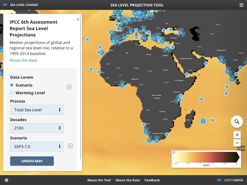
IPCC Sea Level Projection ToolIPCC Sea Level Projection Tool
The IPCC Sea Level Projection Tool, hosted by NASA, gives users interactive access to the sea level projections based on the latest IPCC 6th Assessment Report. It provides a detailed look at projected sea level changes globally and regionally under various greenhouse gas emissions scenarios, derived from the most up-to-date scientific models and peer-reviewed data.
Why Use This Tool: This tool is a trusted and supported pathway for users to access and visualize the sea level projection information from the IPCC AR6. This tool allows users to view and compare sea level projections under multiple climate scenarios, ranging from low to high emissions. With adjustable settings, users can focus on specific areas of interest, making it an essential resource for informing regional adaptation planning and understanding potential long-term impacts.
Who should use this tool: Targeted at researchers, policy-makers, adaptation specialists, and climate resilience planners. It’s also useful for government agencies, academic institutions, and global organizations needing accurate, scenario-based data for policy and planning, coastal risk assessment, and environmental impact analysis. The tool is also appropriate for a more general audience interested in understanding how sea level might change in the future where they live.
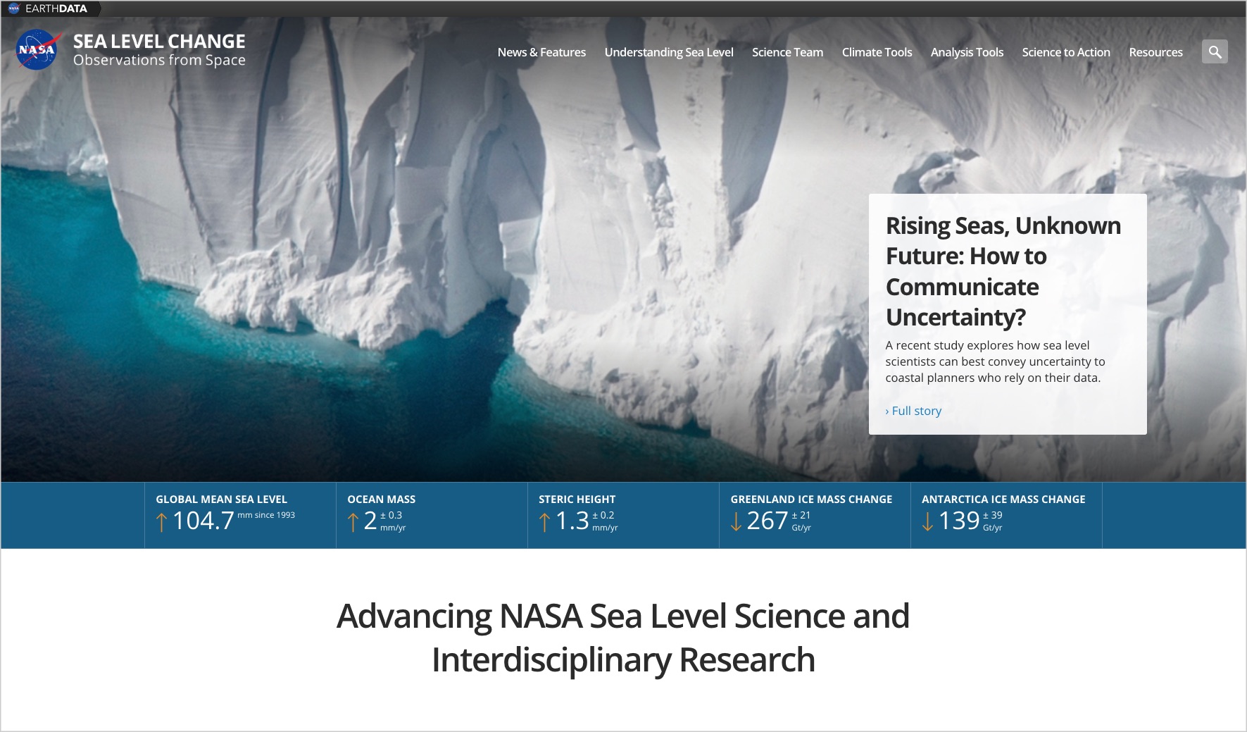
NASA Sea Level Change PortalNASA Sea Level Change Portal
NASA's Sea Level Web Portal at sealevel.nasa.gov offers comprehensive resources and data on sea level changes. It features interactive tools, scientific research, visualizations, and educational materials to help understand the causes and impacts of sea level rise, supporting both public awareness and scientific research.
Why you would use this site: You would use the Sea Level Web Portal at sealevel.nasa.gov to access a range of specialized tools and resources designed to enhance understanding of sea level changes. The portal features data visualization tools that allow users to explore sea level data through interactive maps and graphs, providing clear visual representations of trends and projections. It also hosts a comprehensive library of scientific research articles and reports, offering in-depth information on the factors contributing to sea level rise and its impacts. Additionally, the site hosts a tool that provides visualization and data access to the most recent global sea level projections from the IPCC AR6. Users can also access satellite data from NASA, providing precise measurements of sea level changes globally. These tools make the portal an valuable resource for anyone seeking to understand and respond to the challenges posed by rising sea levels, including on global scales.
Who should use this site: As the site provides a range of information, the audience is broad. The specific tools on the site support users interested in the latests understanding of sea level change on a global scale, including by providing access to the latest IPCC AR6 information.


